
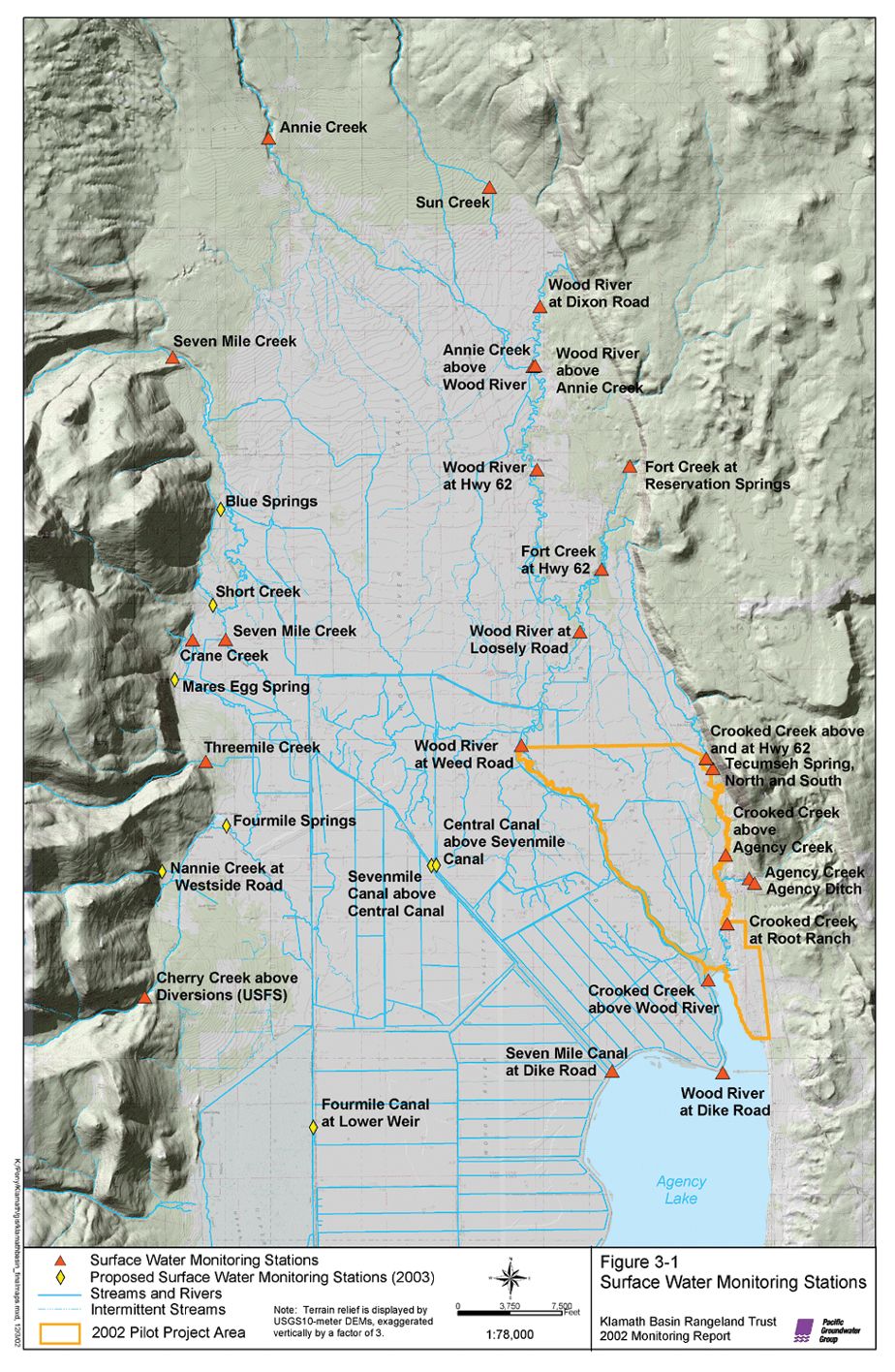
 As well as being a valuable tool in the monitoring network design, GIS was heavily used to generate figures that have been used in reports and presentations to a variety of federal agencies, potential private funding sources, and local ranchers. |
The Klamath Basin Rangeland Trust (KBRT) was created in response to the current water crisis in the Klamath Basin, a large drainage basin that is located in southern Oregon and northern California in the western United States. The water crisis was widely publicized in the summer of 2001 when the need to supply sufficient water resources to endangered and threatened fish species (including the Klamath River coho salmon, interior redband trout, bull trout, Lost River sucker, and shortnose sucker) resulted in the shutdown of irrigation water to farmers in the Klamath Project Irrigation District and the loss of their crops. The goal of KBRT is to increase the quantity and quality of water available for use by both farmers and fish in the basin by changing land management techniques and conserving irrigation water high in the Upper Klamath Basin.
KBRT has focused its efforts in the Wood River Valley, a small drainage area in the Upper Klamath Basin. The majority of land in the valley is currently used for high-density cattle grazing, which is supported by extensive irrigation and drainage systems that divert water from the spring-fed creeks and rivers onto pastures and that drain the low-lying, wetland areas, allowing cattle to forage. Although this valley makes up only 5 percent of the land area in the upper watershed, almost 25 percent of the water supplied to Upper Klamath Lake originates in this valley due to the high density of artesian springs. KBRT focused on the Wood River Valley because, with such a large amount of water originating from a relatively small area, land use changes by only about 15 ranching operations could significantly augment water supplies to Upper Klamath Lake and other downstream water needs. In 2002, KBRT implemented a new land and water management plan to achieve three goals:

